

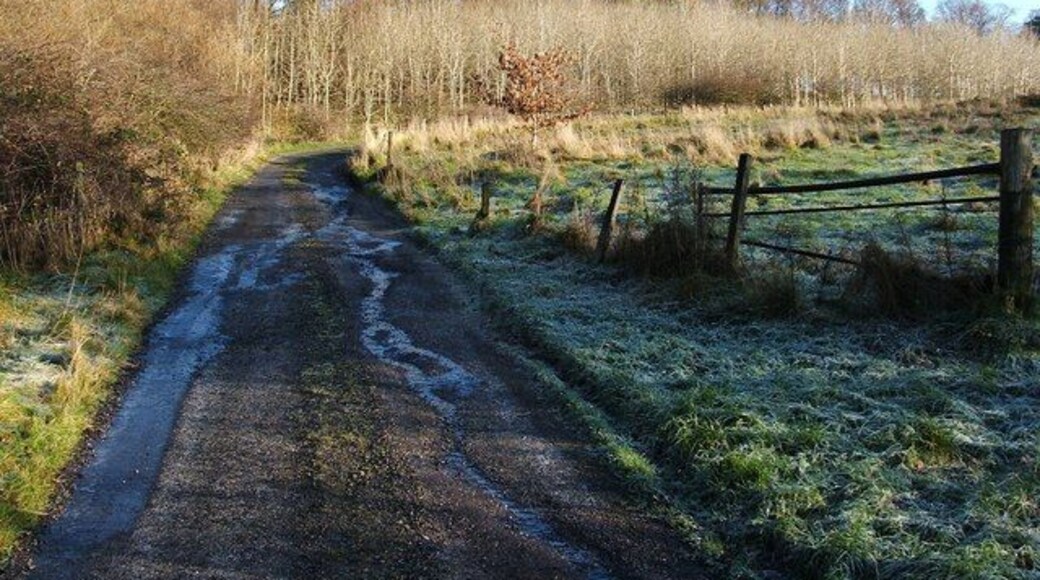

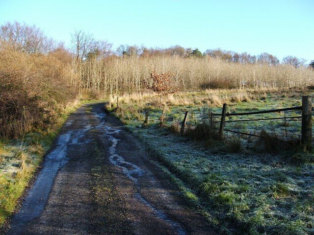
استكشاف بونهيل
أماكن مشهورة يمكنك زيارتها
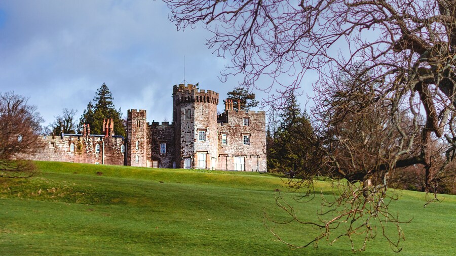
قلعة بالوش
قلعة بالوش واحدة من بين الكثير من الأماكن التي يمكنك زيارتها في الإسكندرية، فلما لا تستمتع بالأشياء الأخرى التي يمكنك استكشافها أثناء رحلاتك؟لا تفوت زيارة مراكز السبا والمطاعم الرائعة في هذه المنطقة الملائمة للتجول مشيًا.

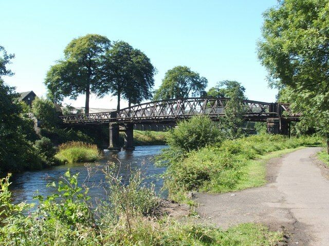
شواطئ بحيرة لوموند
يمكنك قضاء بعض الوقت في استكشاف صالات معروضات شواطئ بحيرة لوموند خلال رحلاتك إلى بالوك. لا تفوت زيارة مراكز السبا والبارات المُفعمة بالحيوية في هذه المنطقة التي تبعتث على الاسترخاء.
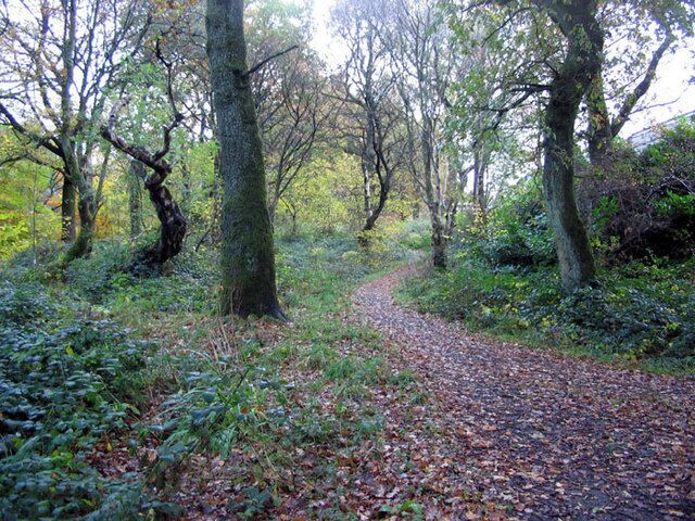
Balloch Castle Country Park
استكشف الأماكن المفتوحة الرائعة في Balloch Castle Country Park، التي تُعد من ا�لمناطق الخضراء الجميلة في الإسكندرية.تعرف على المطاعم الرائعة أو البارات المُفعمة بالحيوية في هذه المنطقة التي تبعتث على الاسترخاء.
حوض الأسماك سي لايف لوخ لوموند
خصص وقتًا لزيارة الحيوانات البحرية التي تعيش في حوض الأسماك سي لايف لوخ لوموند في أثناء رحلاتك في بالوك. لا تفوت زيارة مراكز السبا والمطاعم الرائعة في هذه المنطقة الملائمة للتجول مشيًا.
نادي لوموند لوخ للغولف
استمتع بلعب جولة جولف في الإسكندرية بنادي لوموند لوخ للغولف.لا تفوت زيارة مراكز السبا والمطاعم الرائعة في هذه المنطقة التي تبعتث على الاسترخاء.
Duck Bay Beach
لما لا تقضي فترة ما بعد الظهر في الراحة بDuck Bay Beach في أثناء رحلتك إلى الإسكندرية؟تعرف على المطاعم الرائعة أو البارات المُفعمة بالحيوية في هذه المنطقة التي تبعتث على الاسترخاء.

