Great Shefford
Travel Guide


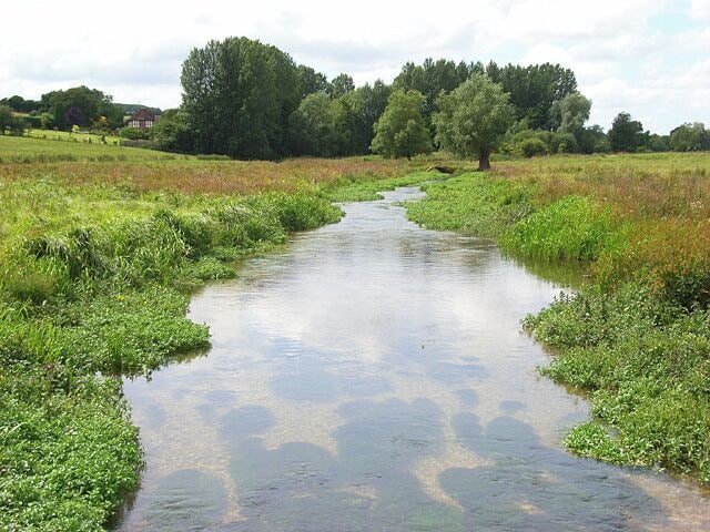
Visit Great Shefford

Village Hotel Swindon
Shaw Ridge Leisure Park Swindon England
The price is AED 262 per night from Jul 19 to Jul 20
AED 262
AED 315 total
19 Jul - 20 Jul
includes taxes & fees
Book a stay at this business-friendly hotel in Swindon. Enjoy free WiFi, breakfast (surcharge), and room service. Our guests praise the helpful staff and the ...
8.2/10 Very Good! (1,000 reviews)
"Room looked tiered bathroom was well clean and bar staff were rude."
Reviewed on 30 June 2026

ORIDA Hotels Newbury
M4 Junction 13 Oxford Road Newbury England
The price is AED 240 per night from Jul 12 to Jul 13
AED 240
AED 289 total
12 Jul - 13 Jul
includes taxes & fees
Book a stay at this business-friendly hotel in Newbury. Enjoy free WiFi, breakfast (surcharge), and 24-hour room service. Our guests praise the helpful staff ...
7.8/10 Good! (1,007 reviews)
"Excellent location and amenities. Rooms of a good size with substantial bathrooms. Customer service very strong"
Reviewed on 29 June 2026

Malmaison Oxford
3 Oxford Castle Oxford England
The price is AED 778 per night from Jul 26 to Jul 27
AED 778
AED 934 total
26 Jul - 27 Jul
includes taxes & fees
Book a stay at this boutique hotel in Oxford. Enjoy free WiFi, breakfast (surcharge), and 24-hour room service. Our guests praise the helpful staff in our reviews. ...
9/10 Wonderful! (1,002 reviews)
"Excellent service, location and room maintenance"
Reviewed on 22 June 2026
Lowest nightly price found within the past 24 hours based on a 1 night stay for 2 adults. Prices and availability subject to change. Additional terms may apply.

The Lakes By YOO
Coln Park, Claydon Pike Lechlade England
Book a stay at this spa aparthotel in Lechlade. Enjoy free WiFi, free parking, and a full-service spa. Popular attractions Cotswold Wildlife Park and Gardens ...
8.6/10 Excellent! (40 reviews)
"The place itself was immaculate. However the moment we checked in we went to the spa where the cryotherapy was broken and we couldn’t order any refreshments as the lady said she couldn’t leave her post. We waited for over an hour and half for dinner and there was no advice on things to do on ..."
Reviewed on 21 June 2026

Central Gate Apartments by House of Fisher
41 West Street Newbury England
Stay at this apartment in Newbury. Enjoy free WiFi, parking (surcharge), and laundry facilities. Popular attractions Highclere Castle and Northcroft Leisure ...
9.4/10 Exceptional! (74 reviews)
"Location, location, location. Right close to shopping, wonderful things to do, especially the Monument Pub! Elevator is nice for luggage."
Reviewed on 24 June 2026

Suite Life Serviced Apartments
3A Charnwood Court Swindon England
Stay at this apartment in Swindon. Enjoy free WiFi, free parking, and laundry facilities. Popular attractions Swindon Arts Centre and Wyvern Theatre are located ...
Lowest nightly price found within the past 24 hours based on a 1 night stay for 2 adults. Prices and availability subject to change. Additional terms may apply.

