High Halstow
Travel Guide

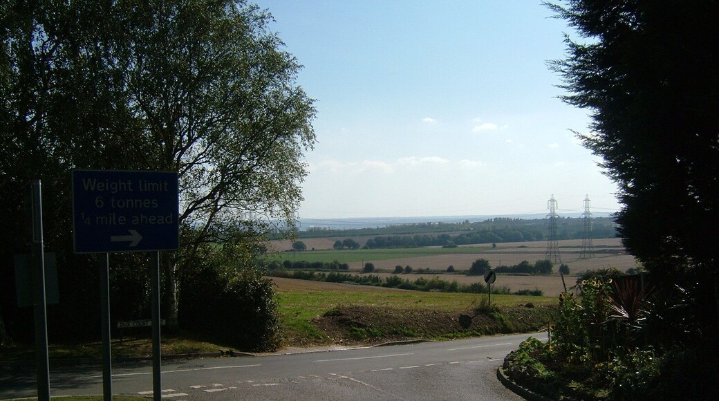


Visit High Halstow

Mercure Dartford Brands Hatch Hotel & Spa
Brands Hatch, J3 Sevenoaks England
The price is AED 258 per night from Aug 3 to Aug 4
AED 258
AED 310 total
3 Aug - 4 Aug
includes taxes & fees
Book a stay at this spa hotel in Sevenoaks. Enjoy free WiFi, a full-service spa, and 3 bars/lounges. Our guests praise the helpful staff in our reviews. Popular ...
7.6/10 Good! (1,016 reviews)
"The roof was very large and well equipped and the spa and pool were lovely. Breakfast was a bit sparse when we arrived and we had to wait for hot food to be brought out and pastries to be replenished."
Reviewed on 11 July 2026

Spring River Ebbsfleet by Marston's Inns
Talbot Lane Gravesend England
The price is AED 177 per night from Aug 2 to Aug 3
AED 177
AED 213 total
2 Aug - 3 Aug
includes taxes & fees
Stay at this hotel in Gravesend. Enjoy free WiFi, free parking, and breakfast (surcharge). Our guests praise the helpful staff and the clean rooms in our reviews. ...
9/10 Wonderful! (1,007 reviews)
"Very pleasant staff always helpful."
Reviewed on 6 July 2026

The Inn on the Lake Hotel
A2 Shorne Gravesend England
The price is AED 213 per night from Jul 19 to Jul 20
AED 213
AED 256 total
19 Jul - 20 Jul
includes taxes & fees
Book a stay at this business-friendly hotel in Gravesend. Enjoy free breakfast, free WiFi, and free parking. Our guests praise the breakfast and the helpful ...
8/10 Very Good! (1,011 reviews)
"The place is cool, spacious and on point. Staff were very friendly and helpful. I can recommend it any day …."
Reviewed on 12 July 2026
Lowest nightly price found within the past 24 hours based on a 1 night stay for 2 adults. Prices and availability subject to change. Additional terms may apply.

The Lower Bell
201 Old Chatham Road Aylesford England
Stay at this apartment in Aylesford. Enjoy free parking, a business center, and daily housekeeping. Popular attractions Oare Marshes Nature Reserve and Kent ...

Hogwarts Bed and Continental Breakfast
Bell Farm Lane Sheerness England
Stay at this cottage in Sheerness. Enjoy free parking, daily housekeeping, and a picnic area. Popular attractions Minster Gatehouse Museum and Barton's Point ...
9.4/10 Exceptional! (122 reviews)
"Lovely holiday retreat in the countryside,secure location,clean comfy rooms and friendly staff.A fabulous self service continental breakfast to enjoy."
Reviewed on 8 July 2026

Staycations Maldon Suites
The Kings Head Centre Maldon England
Stay at this aparthotel in Maldon. Enjoy a fitness center, parking (surcharge), and housekeeping. Popular attractions Blackwater Leisure Centre and Museum of ...
Lowest nightly price found within the past 24 hours based on a 1 night stay for 2 adults. Prices and availability subject to change. Additional terms may apply.

