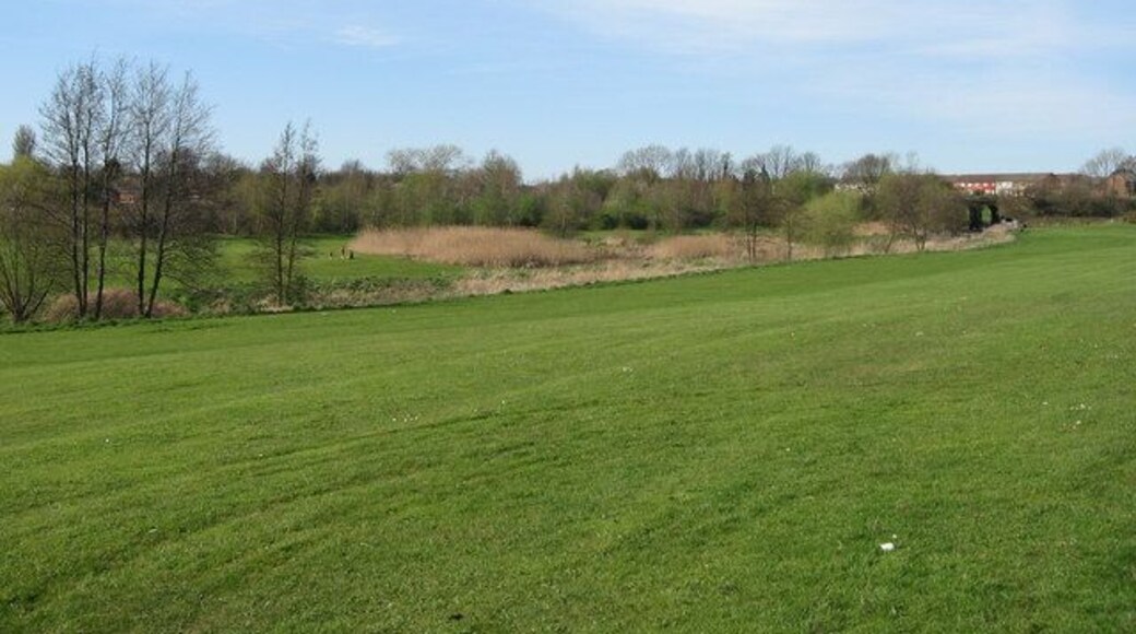
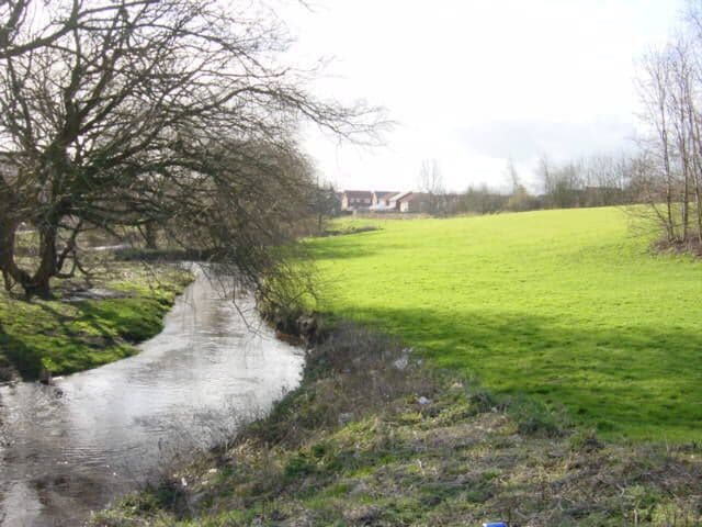
Kirkby
Travel Guide


Visit Kirkby

Titanic Hotel Liverpool
"I found it was very expensive to stay here as you only got a room for your money. Nothing special like robes, water etc. we thought at least we could use the pool but everything was extra! Won’t stay again"
Reviewed on 4 June 2026

Maldron Hotel Liverpool City
"Amazing staff with top rooms"
Reviewed on 3 June 2026

The Municipal Hotel Liverpool - MGallery
"Clean room, friendly staff, nice bar."
Reviewed on 3 June 2026

Citadines City Centre Liverpool
"Amazing aparthotel in Liverpool city centre, great rooms, fab staff, super Aircon, I’d highly recommend a stay."
Reviewed on 2 June 2026

Cove Paradise Street
"Excellent as always. Ideal for a family getaway."
Reviewed on 27 May 2026

Aparthotel Adagio Liverpool City Centre
"Room was clean, good location."
Reviewed on 1 June 2026
Popular places to visit

Anfield Stadium
Catch an event at Anfield Stadium during your trip to Liverpool. Discover the area's shops, or seek out its local tours.
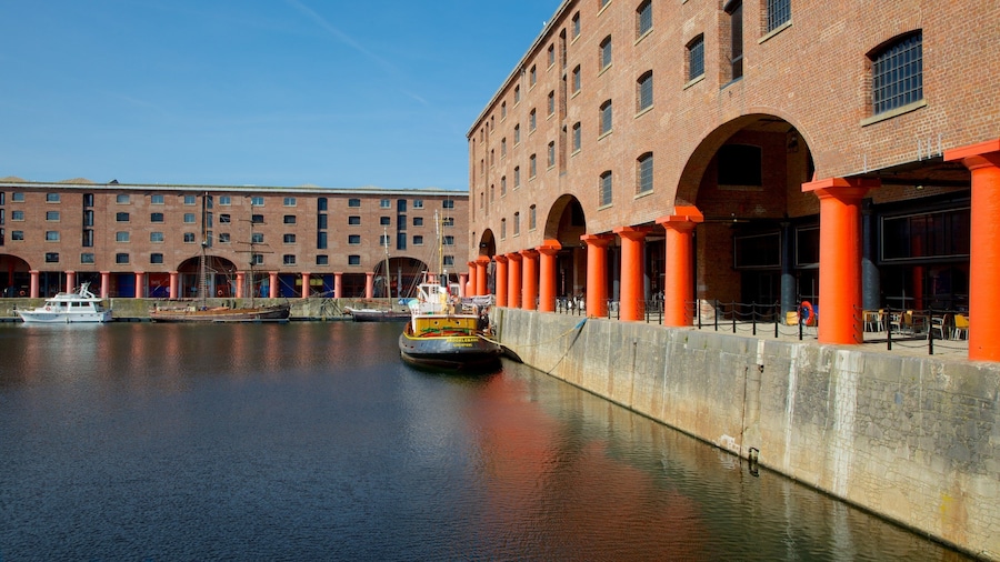
Royal Albert Dock
Explore the waterfront in Liverpool with a trip to Royal Albert Dock. Discover the area's lively bars and its acclaimed theater scene.

Knowsley Safari Park
See the exotic and native animals who call Knowsley Safari Park home during your trip to Liverpool. Experience the acclaimed theater scene and entertainment choices in this walkable area.

Liverpool ONE
During your visit to Liverpool, you can browse for the perfect souvenirs at Liverpool ONE. Discover the area's fascinating museums and stunning cathedral.

Cavern Club
You can learn about the history of Liverpool with a trip to Cavern Club. Experience the area's acclaimed art scene and fascinating museums.

The Beatles Story Museum
You can browse the exhibits at The Beatles Story Museum, a museum with a storied past, during your travels to Liverpool. Wander the area's marina or simply enjoy one of its lively bars.

