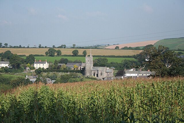
Landkey
Travel Guide


Visit Landkey

Woodford Bridge Country Club
"Our stay was very good every item you wound need was there for cooking Tv all towels and cleaned every day, if there was one downside it didn’t have a lift as we were on the second floor and being in our seventies couldn’t carry our cases up fortunately we contacted the reception and they sent a ..."
Reviewed on 27 May 2026

The Mole Resort - Hotel rooms
"Unfortunately our stay was marred by the fact that the bathroom bin had not been emptied and contained the previous residents used sanitary products!!! The shower took 25 minutes to drain and, whilst we understand the logistics of old manor houses, if the plumbing is not up to standard then this ..."
Reviewed on 28 May 2026

Westbeach Holiday Apartments
"Easy to access, lovely and clean and spacious. We loved how close it was to everything as well. Thank you for a great stay, we’ll be back!"
Reviewed on 29 May 2026
Westbeach Holiday Apartments
"Easy to access, lovely and clean and spacious. We loved how close it was to everything as well. Thank you for a great stay, we’ll be back!"
Reviewed on 29 May 2026

North Devon Resort
"We booked this last minute and, given the price, I wasn’t expecting much—but I was genuinely surprised at how great our stay turned out to be. The accommodation had everything we needed, and the very good WiFi included in the price was a big bonus. The onsite restaurant served delicious, reasonably ..."
Reviewed on 6 April 2026

The Mole Resort - Lodges
"Very good stay overall, lovely place and grounds. Minor feedback, not clear that the lodges are not detached. The indoor swimming pool needs some TLC including the facilities like changing. Some of the activities were not included and had to be paid for, this is not made clear when booking. More ..."
Reviewed on 1 June 2026
Popular places to visit
Pannier Market
You can enjoy retail therapy at Pannier Market during your stay in Barnstaple. While in this quaint area, you can savor the lively bars.
Exmoor Zoo
Visit the native and exotic animals who call Exmoor Zoo home during your travels in Bratton Fleming.
Woody Bay Beach
Why not spend a lazy afternoon at Woody Bay Beach during your trip to Martinhoe? While you're in the area, wander around the parks.
Queen's Theatre
You can make plans for a show at Queen's Theatre on your trip to Barnstaple. While in this relaxing area, you can savor the lively bars.
Arlington Court
Find out about the history of Arlington with a stop at Arlington Court. While in this relaxing area, you can savor the lively bars.
Heddon's Mouth Beach
Why not spend a lazy afternoon at Heddon's Mouth Beach during your trip to Barnstaple? Discover the countryside and bars in this relaxing area.

