Peasedown Saint John
Travel Guide


Visit Peasedown Saint John

Apex City of Bath Hotel
Everything was perfect - spotless clean room, bathroom super clean too. The whole atmosphere was calm , every staff member was happy and attentive.
Reviewed on 30 January 2026

Delta Hotels by Marriott Bristol City Centre
Excellent hotel
Reviewed on 1 February 2026

Hampton by Hilton Bath City
Room was immaculate and had everything we needed. Staff were efficient and friendly.
Reviewed on 31 January 2026

Hiding Space - Westgate Apartments
Room very clean, ideal location for Roman Baths, pubs and restaurants. Tour bus stops at the door! Stayed on 3rd floor, no issues with noise on a Friday night. We will use again when we return.
Reviewed on 1 February 2026

WILLOW RIDGE - a large country house with 3 rental rooms
perfect for my friend
Reviewed on 5 November 2025

Your Apartment Clifton House
Loved the location and space
Reviewed on 13 January 2026
Check Peasedown Saint John hotel availability
Popular places to visit
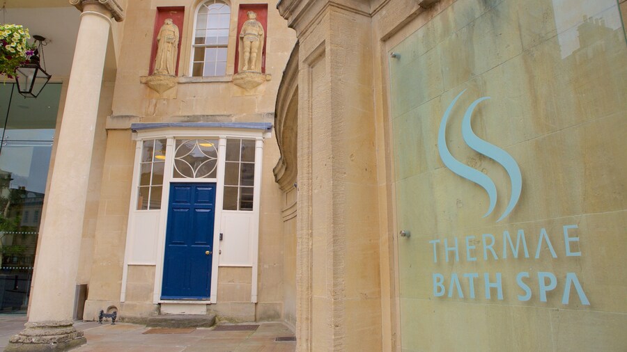
Thermae Bath Spa
You can take time to visit Thermae Bath Spa during your travels to Bath. Make time to visit the area's shops, or simply enjoy its top-notch restaurants.

Roman Baths
You can browse the exhibits at Roman Baths, a museum with a storied past, during your trip to Bath. Make time to visit the area's shops, or simply enjoy its top-notch restaurants.

University of Bath
Enjoy the collegiate vibe at University of Bath during your visit to Bath. Visit the shops and spas in this walkable area.

Bath Spa University
Walk around the campus at Bath Spa University as part of your travels around Newton St. Loe. Check out the shops and lively bars in this walkable area.

Royal Crescent
After visiting Royal Crescent, make a plan to see the other sights and activities in Bath. Discover the area's lively bars and its acclaimed art scene.

Bath Abbey
Find out about the history of Bath when you spend time at Bath Abbey. Experience the area's entertainment choices and fascinating museums.

