Winterbourne Bassett
Travel Guide

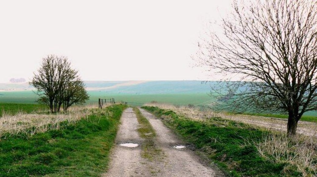

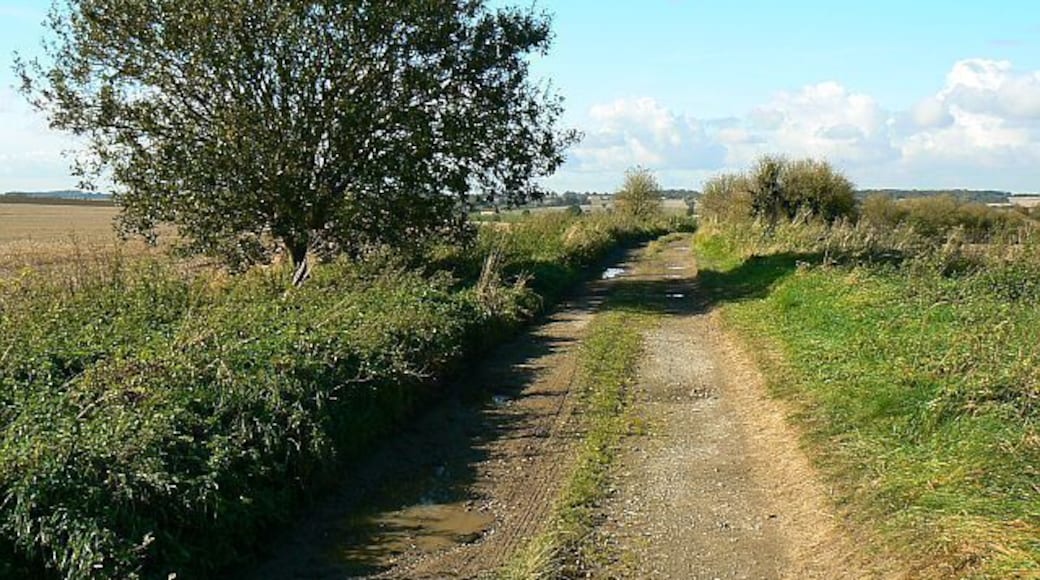
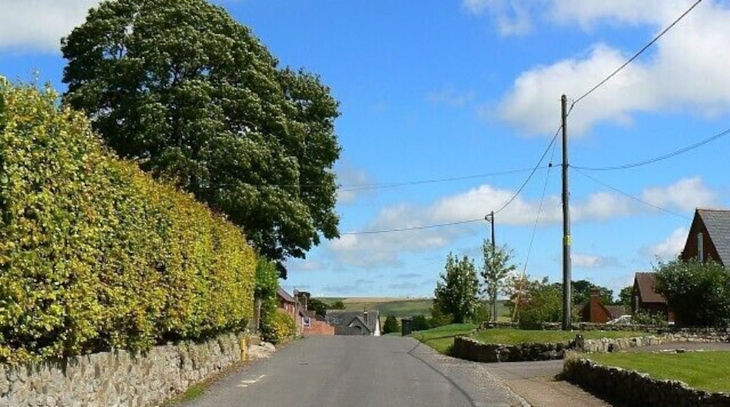
Visit Winterbourne Bassett

De Vere Cotswold Water Park
Lake 6 Spine Road East Cirencester England
The price is AED 395 per night from Jul 12 to Jul 13
AED 395
AED 474 total
12 Jul - 13 Jul
includes taxes & fees
Book a stay at this spa hotel in Cirencester. Enjoy free WiFi, free parking, and a full-service spa. Our guests praise the breakfast and the helpful staff in ...
8.6/10 Excellent! (1,008 reviews)
"Good clean room with very helpful staff. Was very busy and the outside area overlooking the lake were a little cluttered with leftover glasses etc but overall, a very pleasant stay."
Reviewed on 8 July 2026

Village Hotel Swindon
Shaw Ridge Leisure Park Swindon England
The price is AED 234 per night from Aug 2 to Aug 3
AED 234
AED 280 total
2 Aug - 3 Aug
includes taxes & fees
Book a stay at this business-friendly hotel in Swindon. Enjoy free WiFi, breakfast (surcharge), and room service. Our guests praise the helpful staff and the ...
8.2/10 Very Good! (1,005 reviews)
"Hot night with no air con unfortunately, got an upgraded room but it’s pretty tired but clean enough, would I stay there again…..not sure. Staff were very helpful."
Reviewed on 5 July 2026

Stratton House Hotel & Spa
Gloucester Road Cirencester England
The price is AED 406 per night from Jul 12 to Jul 13
AED 406
AED 488 total
12 Jul - 13 Jul
includes taxes & fees
Book a stay at this spa hotel in Cirencester. Enjoy free WiFi, free parking, and a full-service spa. Our guests praise the helpful staff in our reviews. Popular ...
8.8/10 Excellent! (503 reviews)
"A really lovely hotel and the staff were all so friendly and attentive through our stay We did a spa morning whilst there and the massage was really good Also the restaurant was great with delicious food and a great setting especially sitting outside in the nice weather"
Reviewed on 28 June 2026
Lowest nightly price found within the past 24 hours based on a 1 night stay for 2 adults. Prices and availability subject to change. Additional terms may apply.

The Lakes By YOO
Coln Park, Claydon Pike Lechlade England
Book a stay at this spa aparthotel in Lechlade. Enjoy free WiFi, free parking, and a full-service spa. Popular attractions Cotswold Wildlife Park and Gardens ...
8.6/10 Excellent! (41 reviews)
"Nice location but terrible value, not a luxury place at all - they skimp on details. We had almost no interaction with the staff, and they didn't refresh our room, which would be fine but, e.g. there are only two coffee cups, no spare towels. Why am I paying this price and have to wash my own coffee ..."
Reviewed on 2 July 2026

Suite Life Serviced Apartments
3A Charnwood Court Swindon England
Stay at this apartment in Swindon. Enjoy free WiFi, free parking, and laundry facilities. Popular attractions Swindon Arts Centre and Wyvern Theatre are located ...

Stone Circle Glamping
Larkhill Rd Durrington England
Stay at this cabin in Salisbury. Enjoy free parking. Popular attractions Stonehenge and Durrington Walls are located nearby.
9/10 Wonderful! (6 reviews)
"The owners were friendly and a good location for Woodhenge and the surrounding area."
Reviewed on 3 July 2026
Lowest nightly price found within the past 24 hours based on a 1 night stay for 2 adults. Prices and availability subject to change. Additional terms may apply.

