

استكشاف موسبوري
أماكن مشهورة يمكنك زيارتها
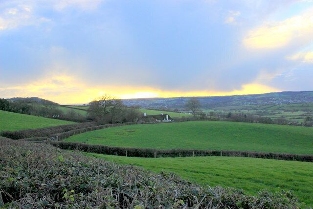
مصنع نبيذ لايم باي
يمكنك الاستمتاع بتجربة تذوق أو جولة سياحية في مصنع نبيذ لايم باي عند سفرك إلى شوت. تجول على طول الشواطئ الجميلة في هذه المنطقة التي تبعتث على الاسترخاء، أو استمتع بزيارة البارات المُفعمة بالحيوية.
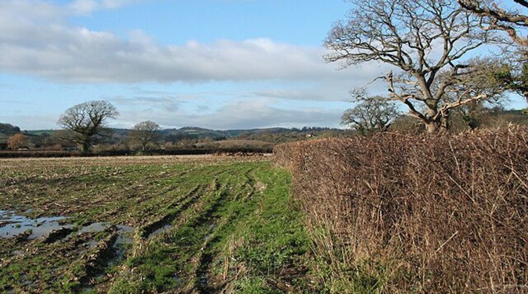
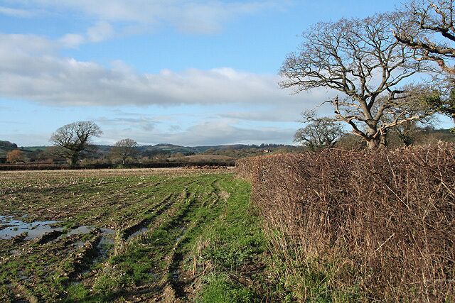
Lower Bruckland Farm Nature Reserve
استكشف الأماكن المفتوحة الرائعة في Lower Bruckland Farm Nature Reserve، التي تُعد من المناطق الخضراء الجميلة في أكسماوث.استمتع بالتجول حول إطلالات الشواطئ الفاتنة في هذه المنطقة التي تبعتث على الاسترخاء واستمتع بالبارات المُفعمة بالحيوية فيها.
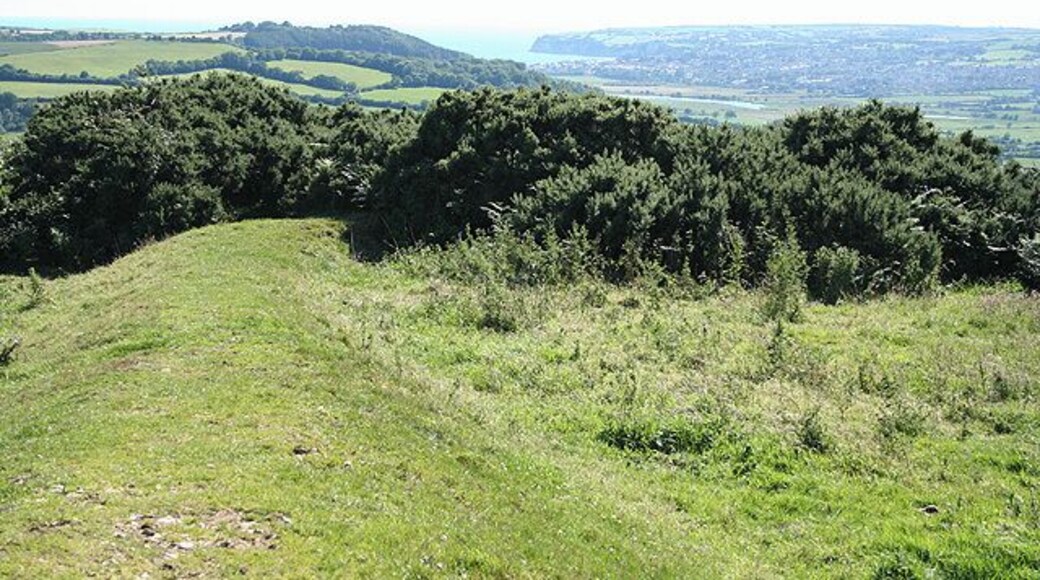
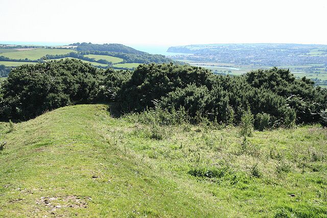
كاسلوود فينيارد
يمكنك الاستمتاع بتجربة تذوق أو جولة سياحية في كاسلوود فينيارد عند سفرك إلى موسبوري. استمتع بالتجول حول إطلالات الشواطئ الفاتنة في هذه المنطقة التي تبعتث على الاسترخاء واستمتع بالبارات المُفعمة بالحيوية فيها.


