
استكشاف سانت ماري هو
أماكن مشهورة يمكنك زيارتها

قلعة ورشيستر
بعد زيارة قلعة ورشيستر، خطط لرؤية المعالم الأخرى والاستمتاع بغير ذلك من الأنشطة في روتشيستر.خصص وقتًا لزيارة مراكز السبا في المنطقة، أو ببساطة استمتع بالبارات المُفعمة بالحيوية فيها.
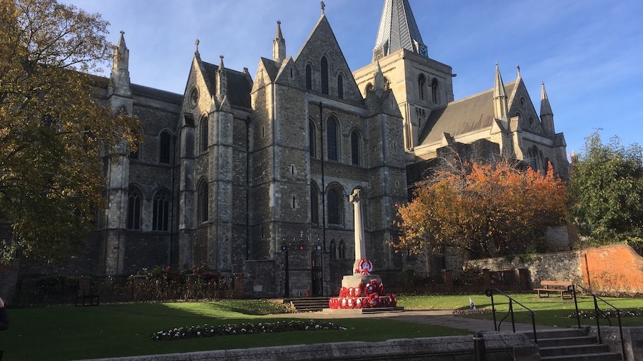
كاتدرائية روتشيستر
بعد زيارة كاتدرائية روتشيستر، خطط لرؤية المعالم الأخرى والاستمتاع بغير ذلك من الأنشطة في روتشيستر.خصص وقتًا لزيارة مراكز السبا في المنطقة، أو ببساطة استمتع بالمطاعم الرائعة فيها.
قاعة كولينج كاسيل بارن للزفاف
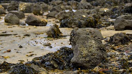
تعرف على التاريخ المحلي لكولينج عند قيامك برحلة إلى قاعة كولينج كاسيل بارن للزفاف. تجول على طول الواجهة البحريّة في هذه المنطقة الملائمة للعائلات، أو استمتع بزيارة البارات المُفعمة بالحيوية.
Diggerland
استمتع بنزهة في Diggerland في أثناء إقامتك بسترود.خصص وقتًا لزيارة مراكز السبا في المنطقة، أو ببساطة استمتع بالبارات المُفعمة بالحيوية فيها.
The Vines Park
The Vines Park واحدة من بين الكثير من الأماكن التي يمكنك زيارتها في روتشيستر، فلما لا تستمتع بالأشياء الأخرى التي يمكنك استكشافها أثناء رحلاتك؟خصص وقتًا لزيارة مراكز السبا في المنطقة، أو ببساطة استمتع بالمطاعم الرائعة فيها.
قلعة أوبنور
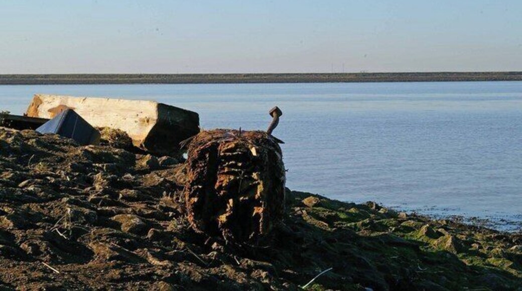
قلعة أوبنور واحدة من بين الكثير من الأماكن التي يمكنك زيارتها في Frindsbury Extra، فلما لا تستمتع بالأشياء الأخرى التي يمكنك استكشافها أثناء رحلاتك؟تجول على طول الواجهة البحريّة أو استمتع بزيارة مراكز السبا في المنطقة.