

استكشاف ويست باجبوروه
أماكن مشهورة يمكنك زيارتها
ملعب كونتي للكريكيت
استمتع بحضور الفعاليات في ملعب كونتي للكريكيت عند قيامك برحلة إلى تاونتون.استمتع بالمطاعم الرائعة والبارات المُفعمة بالحيوية في أثناء وجودك بالمدينة.
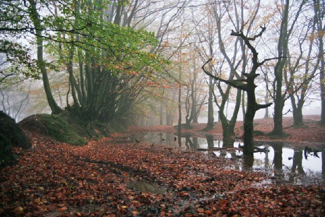
Somerset Towpath
يمكنك تخصيص وقت لزيارة Somerset Towpath في أثناء سفرك إلى Stoke St. Gregory (.تعرف على البارات المُفعمة بالحيوية أو المطاعم الرائعة في هذه المنطقة الجذّابة.
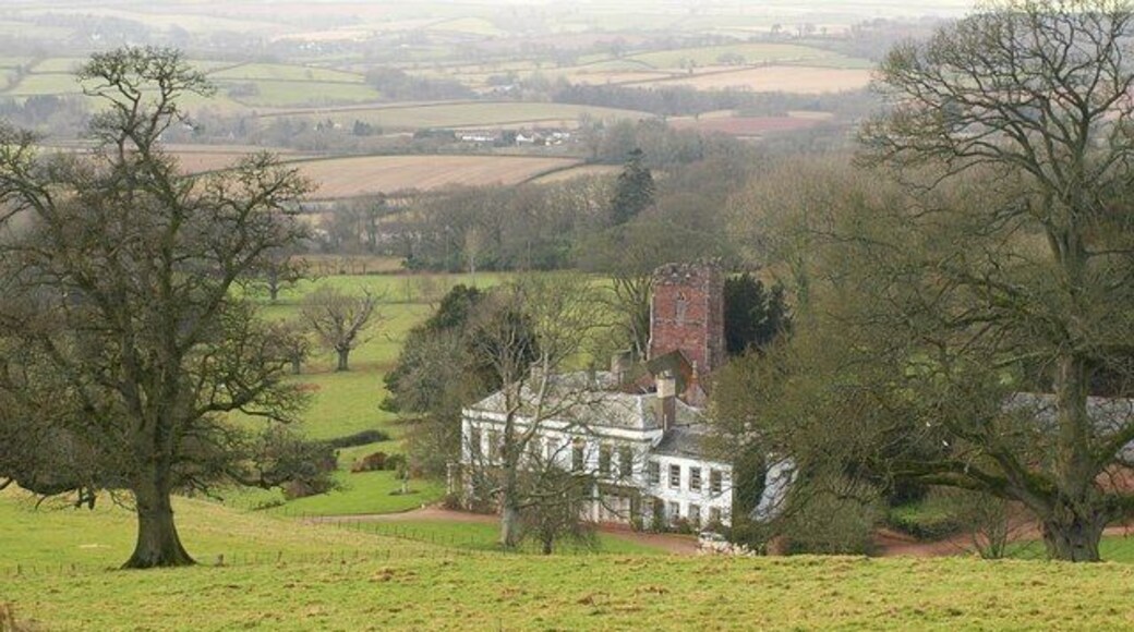
نيتلكومب كورت
استكشف التاريخ المحلي لNettlecombe في حال كنت تقضي وقتًا في نيتلكومب كورت. استمتع بالتجول حول الحدائق الغنّاء في هذه المنطقة التي تبعتث على الاسترخاء واستمتع بالبارات المُفعمة بالحيوية فيها.
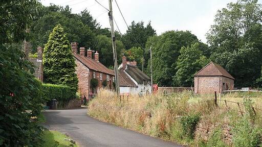
قاعة كومب سيدينهام
يمكنك معرفة المزيد من المعلومات عن تاريخ ستوغومبر من خلال رحلة إلى قاعة كومب سيدينهام. تعرف على البارات المُفعمة بالحيوية أو المطاعم الرائعة في هذه المنطقة التي تبعتث على الاسترخاء.
قلعة وودلاندز
استكشف التاريخ المحلي لRuishton في حال كنت تقضي وقتًا في قلعة وودلاندز. استمتع بالمطاعم الرائعة والبارات المُفعمة بالحيوية في أثناء وجودك بالمدينة.
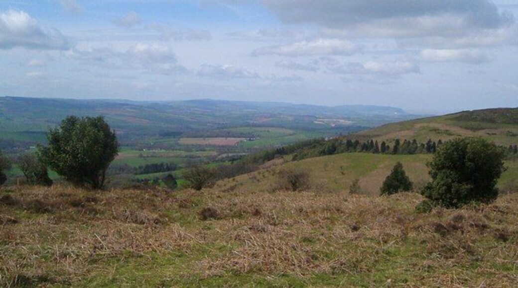
Tarr Steps
يمكنك معرفة المزيد من المعلومات عن تاريخ Lydeard St. Lawrence عند توقفك في Tarr Steps. استمتع بالمطاعم الرائعة والبارات المُفعمة بالحيوية في أثناء وجود�ك بالمدينة.


