Westhay
Travel Guide


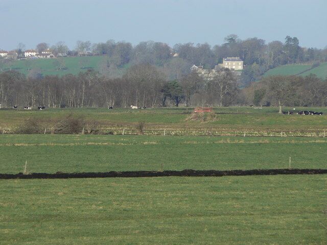
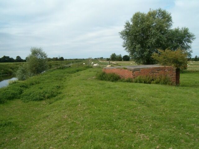
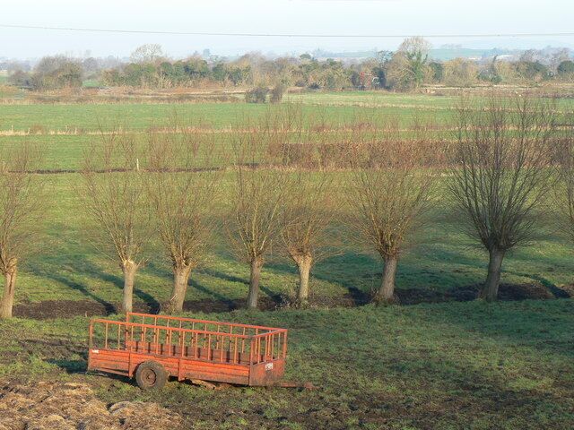
Visit Westhay

Hampton by Hilton Bristol Airport
Clean Room, lovely hot shower. Breakfast eas fresh & was particularly impressed with the Dairy Free options, milk, yogurts, pastries, plus cooked breakfast.
Reviewed on 14 May 2026

Sidcot Arms
Everything was excellent!
Reviewed on 14 May 2026

Savoy Hotel
Room dirty carpet badly stained and in need of a good hoover. Windows so dirty unable to see out.
Reviewed on 6 May 2026

Greyfield Farm Cottages
Lovely friendly place to stay
Reviewed on 7 December 2025

Little Norton Mill
Travelling for business and this was a great place to rest after a long day. Spotless, convenient and friendly hosts
Reviewed on 16 April 2026

Cider Barn sleeping 12 with hot tub and Spa facilities.
Booking and communication with Zoe was excellent. On arrival at The Barn, we were blown away by the attention to detail, each bedroom had robes, flip flops, towels for the pool as well as fluffy bath towels for our en-suite’s, plus chocolate! The standard of the barn was excellent with everything ...
Reviewed on 30 April 2026
Popular places to visit

Glastonbury Tor
Learn about the local history of Glastonbury when you spend time at Glastonbury Tor. Check out the stunning cathedral and top-notch restaurants in this quaint area.

Glastonbury Abbey
Learn about the local history of Glastonbury when you take a trip to Glastonbury Abbey. Check out the top-notch restaurants or lively bars in this quaint area.

Chalice Well
Learn about the local history of Glastonbury with a stop at Chalice Well. Check out the stunning cathedral and lively bars in this quaint area.
RSPB Ham Wall
Enjoy the collegiate vibe at RSPB Ham Wall as part of your travels around Ashcott.
Forde Abbey
You can find out about the history of Meare with a visit to Forde Abbey. Check out the lively bars or top-notch restaurants in this relaxing area.
Rural Life Museum
You can spend time browsing the exhibits at Rural Life Museum in Glastonbury. Check out the stunning cathedral and top-notch restaurants in this quaint area.

