Stainborough
Travel Guide


Visit Stainborough

The Queens Hotel
"Great location, wonderful room, excellent experience."
Reviewed on 21 June 2026

Crowne Plaza Leeds by IHG
"Lovely room Excellent welcome at check in Really good breakfast Convenient and reasonable parking"
Reviewed on 14 June 2026

Clayton Hotel Leeds
"Great location, close enough to city centre with parking"
Reviewed on 21 June 2026

Quebecs Luxury Aparthotel
"Amazing accommodation in a fantastic location and incredible value for money. I was worried how the check in process would be, with it being an apartment but it was seamless just like a hotel. It was a little bit tricky to find but we went to the Quebec hotel and they directed us. Highly ..."
Reviewed on 17 June 2026

The Chambers - Park Place - Apartments
"On arrival the staff were extremely friendly and only too happy to help with check in. We arrived 45 minutes early but our room was ready. We booked a superior Apartment on the 3rd floor of the complex. The Apartment was wonderful. Everything was to a very good standard, clean, warm and felt like ..."
Reviewed on 9 June 2026

Roomzzz Leeds City
"Clean room and easy check-in"
Reviewed on 14 June 2026
Popular places to visit
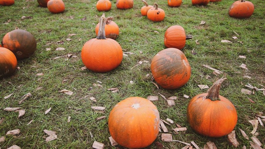
Cannon Hall Farm
You can find the perfect gifts to bring home at Cannon Hall Farm during your visit to Cawthorne. Check out the spas and lively bars in this quaint area.
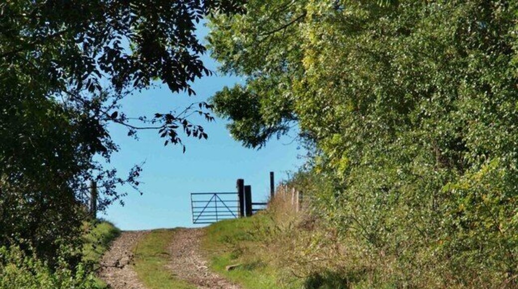
Worsbrough Mill Country Park
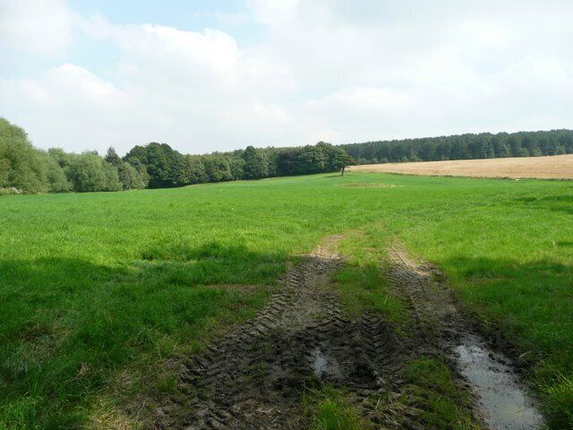
Explore the great outdoors at Worsbrough Mill Country Park, a lovely green space in Barnsley. While you're here, you can savor the top-notch restaurants.
Metrodome Arena
Catch an event at Metrodome Arena during your trip to Barnsley. Discover the area's lively bars and its entertainment choices.
Wentworth Castle Gardens
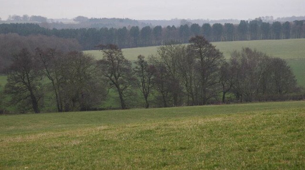
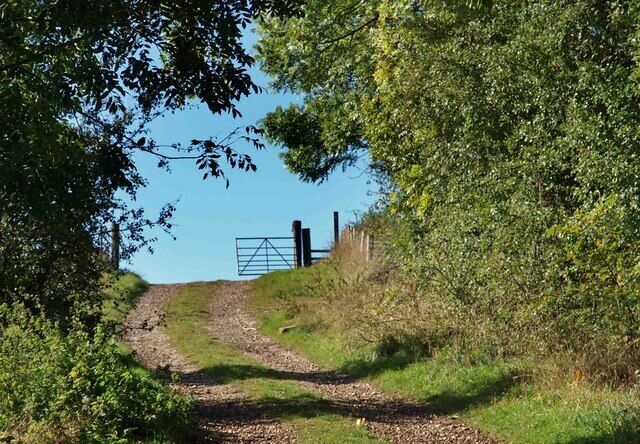
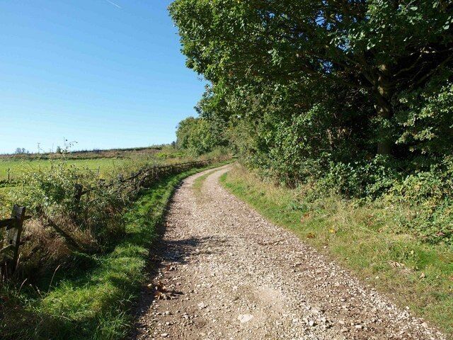
Explore the great outdoors at Wentworth Castle Gardens, a lovely green space in Stainborough. Check out the spas and charming coffeehouses in this culturally rich area.
Oakwell Stadium
Catch an event at Oakwell Stadium during your trip to Barnsley. Discover the area's top-notch restaurants and its entertainment choices.
Cannon Hall Park
Explore the great outdoors at Cannon Hall Park, a lovely green space in Cawthorne.

